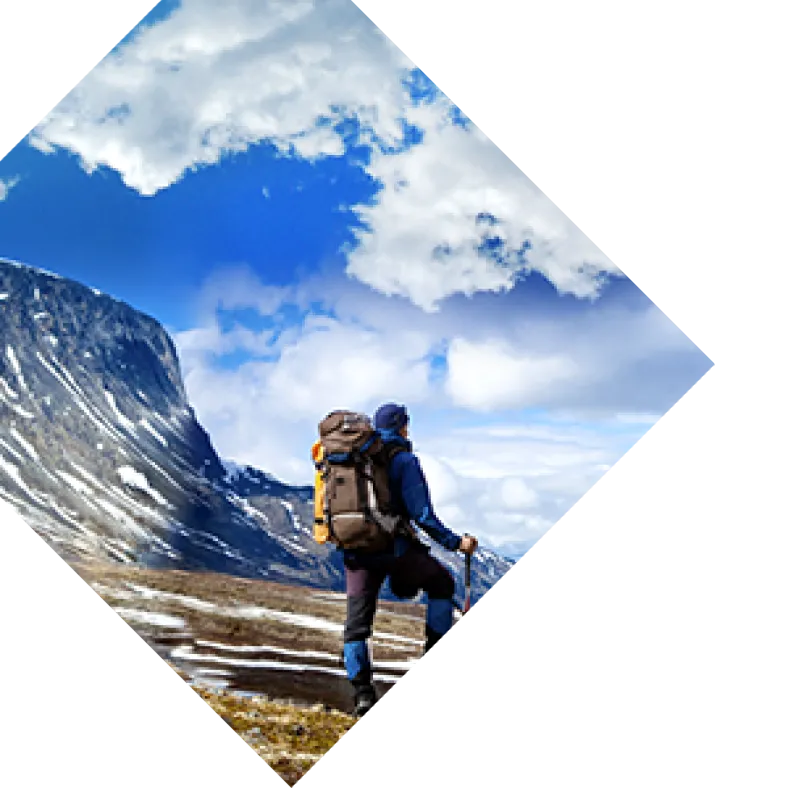
 Sandwiched between the Sonoran Desert and the Colorado Plateau in Arizona, Sedona offers a varied and beautiful landscape of canyons, waterways, grasslands, and forests. This ecological diversity plus the majestic red sandstone formations standing tall in all directions make Sedona a world-class destination for seasoned hikers and newcomers alike. Though well-known Sedona trails such as Cathedral Rock, West Fork, and Bell Rock are impressive and worth visiting, the crowds can be dense and parking tough, especially during the spring and fall when temperatures are at their best. But don’t fret. While Sedona has plenty of maintained hiking trails, it’s totally possible to find something off-the-beaten-path. Keep in mind that a Red Rock Pass ($5 for the day) or America the Beautiful Pass is required to park at many of Sedona’s trailheads.
Brins Mesa
Round-trip Length: 6.4 miles Type of Trail: Out-and-back Elevation Gain: 596 feet Difficulty: Moderate Family/Dog Friendly: Yes/Yes, leashed Trailhead Location: Jim Thompson Trailhead at the end of Jordan Road If you’re claustrophobic, Brins Mesa is the hike for you. If you’re not, you’ll still appreciate this trail’s wide-open spaces and expansive red rock vistas. It’s a real gem in the Red Rock-Secret Mountain Wilderness of Arizona, yet often overlooked, which means you can see spectacular views without feeling like you’re in a conga line. Time your hike with sunrise or sunset for optimum beauty. Hikers with a time limit and families with small children often turn around at the top of the mesa, about a mile and a half in. To turn this hike into a loop, connect Brins Mesa with the popular Soldier Pass, Jordan, and Cibola Pass trails (in that order, counterclockwise) — a total of about 5.5 miles. On the loop you can see famous landmarks such as the Devil's Kitchen sinkhole and the Seven Sacred Pools, but keep in mind that Soldier Pass is typically busier than Brins Mesa.
Coffee Pot Rock (via Teacup Trail)
Round-trip Length: 2.3 miles Type of Trail: Out-and-back Elevation Gain: 262 feet Difficulty: Easy Family/Dog Friendly: Yes/Yes, leashed Trailhead Location: Teacup/Sugarloaf Trail parking area off Buena Vista Road Many rock formations in Sedona are said to resemble common objects and characters (like the Sedona Submarine Rock or Snoopy), though sometimes it’s hard to discern, like making shapes out of clouds with friends. This trail leads to a vibrant red rock that people say looks like a percolator coffee pot. And with a little imagination, it really does! The towering Coffee Pot Rock is visible all over town, yet few people hike the short trail to its base. To get to the trailhead, follow the Teacup trail for half a mile until you hit the unmarked Coffee Pot Rock trail on the left. Along the path you can see Capitol Butte, one of Sedona’s tallest formations, and sweeping views of west Sedona. For maximum effect, hike this trail as a morning pick-me-up and relax at the base of Coffee Pot Rock with a cup of joe in a Hydroflask.
Long Canyon
Round-trip Length: 6 miles Type of Trail: Out-and-back Elevation Gain: 828 feet Difficulty: Moderate Family/Dog Friendly: Yes/Yes, leashed Trailhead Location: Long Canyon Trailhead off Long Canyon Road For easy access to the Red Rock-Secret Mountain Wilderness, lace up your boots and head to Long Canyon. This wide trail gains elevation so gradually that it feels relatively flat, making it a great choice for families with kids who want to meander. Wilson Mountain and Steamboat Rock are just a couple of the red rock buttes, cliffs, and spires that you can see along this path. The geologic wonderland is also a haven for an array of Arizona plants: manzanitas, alligator junipers, cottonwoods, banana yuccas, and ponderosas, to name a few. Bring a guidebook for local flora and see how many different plants you can spot. Birders will also enjoy the hunt — figuratively, of course.
Bear Mountain
Round-trip Length: 4.6 miles Type of Trail: Out-and-back Elevation Gain: 1,994 feet Difficulty: Strenuous Family/Dog Friendly: No/Yes, leashed Trailhead Location: Bear Mountain parking area off Boynton Pass Road A 20-minute drive from downtown Sedona, the Bear Mountain trail is accessible and scenic, yet often forgotten. Or perhaps avoided for its strenuous nature. This trail is short but steep, so it’s recommended for hikers in good shape with a reliable pair of hiking boots that provide plenty of traction. If your fitness level has seen better days, just know that this trek will be doable but slow going — more of a trudge or trek than a leisurely hike. From the top of Bear Mountain, you can see into Red Rock Country for miles and miles, making the effort completely worth it. You could spend hours soaking in the scenery, so make sure to plan time for relaxation (and snacks) at the top. An area map will help you pick out faraway landmarks such as the old mining town of Jerome and Kendrick Peak. If you manage to have extra energy at the end of this hike, check out the shorter and much easier Fay Canyon trail just up the road.
Woods Canyon
Round-trip Length: 10.4 miles Type of Trail: Out-and-back Elevation Gain: 800 feet Difficulty: Moderate Family/Dog Friendly: Yes/Yes, leashed Trailhead Location: Red Rock Visitor Center and District Ranger Station parking lot This easygoing day hike in the Munds Mountain Wilderness is fairly unknown, so you’re more likely to hear birds chirping than hikers chatting. After following a former jeep road for about a mile, the path enters a wide canyon that runs along Dry Beaver Creek. This seasonal drainage is (you guessed it) usually dry, but fills up in the spring when snow is melting — a pretty sight indeed. Even when the creek is waterless, the riparian areas remain.That said, Arizona is susceptible to flash floods, so always check the weather before your hike. Some red rocks can be seen from Woods Canyon, but mesas covered in dense foliage are the dominant formation along this trail. Though the Woods Canyon trail is long, you can certainly turn around anytime you want, and it’s a perfect hike for families with children or dogs in tow. Trail runners who are looking for a well-marked path with a gradual ascent will also love this trail.
Margs Draw
Round-trip Length: 4.1 miles Type of Trail: Out-and-back Elevation Gain: 396 feet Difficulty: Easy Family/Dog Friendly: Yes/Yes, leashed Trailhead Location: Broken Arrow Trailhead off Morgan Road The Margs Draw trail starts in the southern end of Sedona and provides gorgeous views with minimal effort. If you have two hours to spare, add this hike to your Sedona to-do list for a good mix of red rock and city scenery. Beginning near a neighborhood, the sandy orange path quickly enters the Munds Mountain Wilderness. As you stroll through an open landscape peppered with juniper, Arizona cypress, and pinyon pine trees, Uptown Sedona and many eminent rock formations can be seen ahead: Capitol Butte, Steamboat Rock, and Snoopy Rock, to name a few. Wildflower lovers should visit during the spring when this trail comes alive with even more color.
Schuerman Mountain Vista
Round-trip Length: 1.7 miles Type of Trail: Out-and-back Elevation Gain: 360 feet Difficulty: Easy Family/Dog Friendly: Yes/Yes, leashed Trailhead Location: Schuerman Mountain Trailhead parking near Sedona Red Rock High School A classic trail in West Sedona, Schuerman Mountain is a quick uphill hike to the flat top of a basaltic mound. From the summit of this extinct volcano, you can see Sedona, the Village of Oak Creek, and the myriad of red rock formations that dot the landscape. Sunset is the best time to hike up Schuerman Mountain, to watch the vivid colors light up the rocks all around you. Just don’t forget your headlamps or flashlights. To get to the overlook, follow the trail for about half a mile and then take the spur trail on the left at a signed junction. Extend the hike by returning to the junction and continuing along the trail until it ends at a junction with the Lime Kiln trail, for a total of 5.2 miles round-trip. The full trail takes you through grasslands, junipers, and more scenic viewpoints.
Cookstove
Round-trip Length: 2 miles Type of Trail: Out-and-back Elevation Gain: 725 feet Difficulty: Moderate Family/Dog Friendly: Maybe (steep incline)/Yes, leashed Trailhead Location: The north end of Pine Flat Campground off State Route 89A Oak Creek Canyon, Sedona’s popular neighbor, is a beautiful wooded gorge full of adventures to be had. And people. Oak Creek Canyon itself is far from off-the-beaten-path, but the Cookstove trail is a great way to get an elevated perspective of the canyon while leaving most visitors in the campgrounds or along the stream’s shore. The Cookstove trail climbs quickly through the forest via multiple switchbacks to the canyon rim. Conifer, oak, and juniper trees will accompany your steep trek, and shade you during a hot day. You’ll also be treated to views of colorful canyon cliffs and State Route 89A, a National Scenic Byway. If you want to extend your trip, follow the Harding Springs trail downhill from the canyon rim. Speaking of Harding Spring, make sure to hit the roadside water stop near the Cookstove trailhead and fill up with natural spring water before your hike. It’s delicious, clear and cold. No matter the trail, hiking in Sedona is truly a treat for any outdoor enthusiast or casual explorer. This region remains one of Arizona’s most iconic backdrops, and it’s easy to see why. Whether you’re joining the crowd or venturing off the beaten path, there’s plenty of fun to be had along the way! As a friendly reminder, please remember to Leave No Trace.