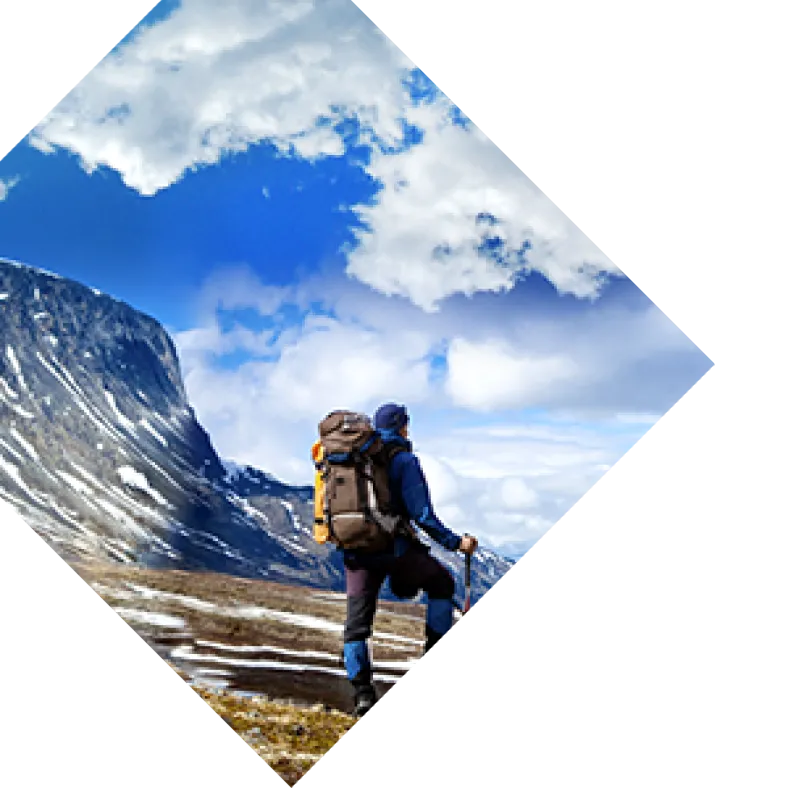
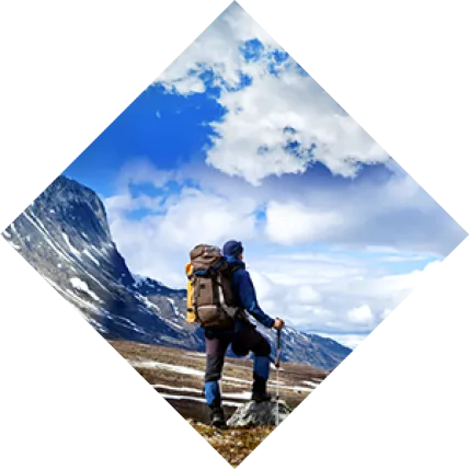
From glacier-scoured lake basins to steaming hot water, northern California’s lake hikes are epic. Hike through pristine wilderness, alpine lakes surrounded by forest and rugged granite. If you are feeling brave, take a refreshing and icy dip in a beautiful mountain lake! Northern California has a huge variety of hikes, and new hikers and old trail gurus alike can find something to challenge them. Here are nine scenic and epic lake hikes to check out in Nor-Cal.
1. Cathedral Lake
Distance (round-trip): 7 miles Elevation Gain: 1,000 feet Difficulty: Hard Classic stunning Yosemite scenery frames Cathedral Lake, with granite cliffs and spires, and flowering alpine meadows. It is in high alpine territory, at 10,000 feet in the Tuolumne Meadows area, and is a must-see for Yosemite travelers. Cathedral Lake trail is part of the John Muir Trail, Yosemite’s famous wilderness backpacking trail. Take the shuttle to the Cathedral Lakes trailhead, as parking is limited. The trail climbs steadily and crosses several streams before splitting. Go right to Lower Cathedral Lake, the more popular and scenic of the two lakes, or left to Upper Cathedral Lake. Going to both lakes in one trip will add about a mile and several hundred feet of elevation gain. This hike is well-traveled and well-marked and can be done by beginners or even families with older children. No pets are allowed, however. The best time to visit is during the summer or early fall, when Tioga Road is open. Arrive early for parking or take a shuttle bus from the campground or visitor center. The entrance fee for Yosemite National Park is $30 per vehicle, good for seven consecutive days.
2. Gaylor Lake
Distance (round-trip): 2 miles Elevation Gain: 500 feet Difficulty: Moderate Another alpine jewel of Yosemite, Gaylor Lake is one of the most stunning trails in the park. Tall peaks of granite erupt from tranquil alpine meadows and a lake basin, with picture-perfect views of Mount Dana and other peaks. This trail is great for families or anyone seeking a large payoff in scenery without a huge, grueling hike. Take the free shuttle bus from the campgrounds or visitor centers to the Tioga Pass Entrance Station and walk down the road to the trailhead. The best time to go is during the summer or early fall when Tioga Road is open and the trail is clear of ice. No pets are allowed on the trail. The entrance fee for Yosemite National Park is $30 per vehicle, good for seven consecutive days.
3. Lake Ediza
Distance (round-trip): 13.5 miles Elevation Gain: 1,200 feet Difficulty: Hard Lake Ediza rests in a glacier-carved basin, surrounded by the granite peaks of the Minarets, Mount Ritter, and Banner Peak. It is a lengthy day hike, and an early start is recommended for ample time to enjoy the trail. Begin at the Agnew Meadows trailhead, following the pools and waterfalls of Shadow Creek before curving around Shadow Lake. Shadow Lake is about four miles in and is the ideal spot for a snack break or a turn-around for those not ready for the longer distance. Hikers who continue will be rewarded as they enter the Ansel Adams Wilderness, where alpine meadows and granite slopes abound. The trail continues beyond Lake Ediza on a rugged, less traveled terrain to Iceberg Lake and Cecile Lake. This hike is most popular in the summer, and is not recommended for beginners or children, although dogs are allowed. There is a mandatory shuttle bus that leaves from the Mammoth Mountain Adventure Center and stops at Agnew Meadows. Call 760-924-5500 for shuttle information and prices.
4. Eagle Lake
Distance (round-trip): 1.8 miles Elevation Gain: 350 feet Difficulty: Easy Just outside of South Lake Tahoe is the peaceful Eagle Lake, situated in a granite basin with tall pines along its shores. Although short, this hike packs a punch in terms of scenery. Just a short distance into the hike is the majestic Eagle Falls, where rushing water cascades down smooth granite rock in the middle of the forest. Hikers who continue will climb into the Desolation Wilderness, where rock outcroppings make for great views of Lake Tahoe’s emerald waters. Eagle Lake is a great place to picnic, relax, or swim on warm summer days, and is perfect for beginners or families. A permit, required to access the Desolation Wilderness, can be obtained at the trailhead. There is a $5 parking fee. This lake is best in the summer, when the warm temperatures and snowmelt allows for swimming, although the trail is often clear by late spring.
5. Heart Lake
Distance (round-trip): 2.2 miles Elevation Gain: 600 feet Difficulty: Moderate Take a dip in the sunny waters of Heart Lake, an alpine lake whose sun-kissed waters are known for being warmer than other glacial lakes. This trail features views of the snowcapped Mount Shasta amidst the forested valleys and hills of the region. Begin at Castle Lake, another great spot for swimming or fishing, and hike along the lake to the outlet and up the ridge. Turn back for views of Castle Lake below, and then travel right along the ridge towards Heart Lake. This trail has great scenery considering the minimal effort to get there and can be done by families, dogs, and hikers of all levels. It is best in the summer when the snow has melted, although it is often possible to hike as early as May. The trailhead is only 12 miles from the town of Mount Shasta. There are no parking fees.
6. Lake Margaret
Distance (round-trip): 4.5 miles Elevation Gain: 500 feet Difficulty: Moderate Wind through thick pine forest and open meadows, crossing slabs of granite and a few river fords of Caples Creek. Lake Margaret is cold – save this hike for a hot summer’s day if you plan to swim! If swimming is not a priority, hike in the fall, when the shimmering aspen leaves set the forest ablaze with fall color. This trail is possible for families, although care should be taken when crossing the rocky, granite slabs, and note that the creek levels could be higher during the spring. The trailhead is right after the town of Kirkwood and is in the Eldorado National Forest. There are no permits or parking fees, and dogs are allowed. Hiking is possible from May through October.
7. Boiling Springs Lake
Distance (round-trip): 1.8 miles Elevation Gain: 200 feet Difficulty: Easy Boiling Springs Lake is one of the main attractions of Lassen Volcanic National Park, as the lake is one of the largest hot lakes in the world. It is a strange landscape, with cloudy green waters and steam vents, all surrounded by pine trees and alpine scenery. The hike through the forest is mostly level and is perfect for families and all levels of hikers, especially those curious about hydrothermal activity. Special care should be taken with children to make sure they stay on the trail and do not approach the lake shores or steam vents. Dogs are not allowed on this trail. Access is from the Warner Valley Trailhead, with a $25 vehicle fee to enter the park, good for 7 consecutive days in the park.
8. Manzanita Lake
Distance (round-trip): 1.5 miles Elevation Gain: 0 feet Difficulty: Easy This pleasant hike wraps around Manzanita Lake through pine forests with views of Lassen Peak and other mountains. The forested lake shores offer shade and cooler hiking during hot weather, and this is a great place for children to explore a lake environment with willows, wildflowers and waterfowl. Begin from the Manzanita Lake Picnic Area, just inside the main park entrance. This is one of the only areas in Lassen Volcanic National Park with year-round access, although due to snow and inclement weather, it is best hiked May through October.
9. Bailey Cove on Shasta Lake
Distance (round-trip): 3 miles Elevation Gain: 0 feet Difficulty: Easy Wind through forest along the shores of Shasta Lake, with the shimmering lake peeking out from the trees. The trail follows the lake shoreline around a peninsula on the McCloud arm of the lake, and is the perfect distance for families, dogs, or even for a trail run. The north side of the peninsula is shaded and cooler, with more fir trees and pine trees, while the south side of the peninsula gets more sun. Hiking is possible year-round, although the trail could be snowy or icy during the winter. Begin from the Bailey Cove Day Use Area, paying the $6 fee to park. The trail is accessible off Interstate 5 and is near Mount Shasta. Take your pick from any of these or find your own! Just remember to stick to the trail, Leave No Trace, and have a wonderful adventure!