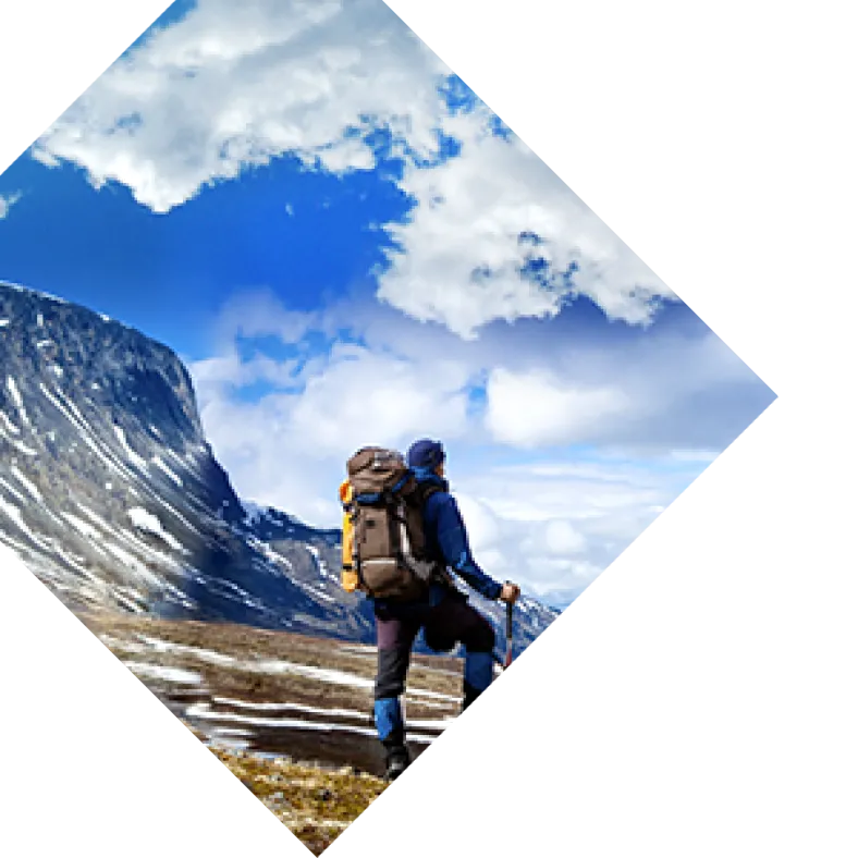
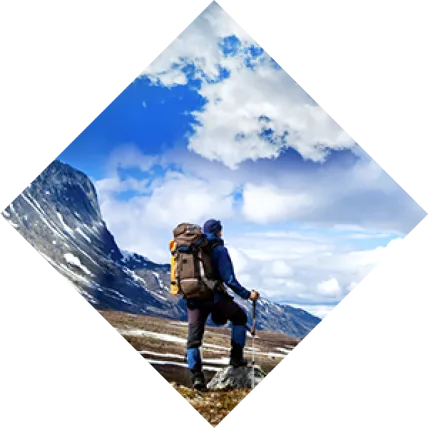
While the hike to St. Mary’s Glacier may not be long or strenuous, it’s still a local favorite for one simple reason: you can enjoy a lake, a year-round glacier, and 360-degree panoramic views all with one quick jaunt up a hillside. Not too bad for a hike that is easily accessible from Denver, right? The trail conditions are quite rocky, but easy to follow. The land itself is privately owned, but thankfully, the owners have allowed hiker access for years. Please keep this in mind while hiking to the glacier and be respectful of their property. Stay on trail and try to keep your impact as minimal as possible. The trail continually ascends, passing multiple private driveways. Eventually, you’ll come to a bridge (elevation: 10,738 feet) that indicates your arrival at St Mary’s Lake. St. Mary’s Lake, located just below St. Mary’s Glacier, is a beautiful alpine lake that is a great spot for a snack or even a picnic. Ringed with bristlecone pine, shade is available, but the sun can be very hot as you near the shoreline. Come prepared; don’t forget your sunscreen! From the lake, it is tough to miss the glacier, or permanent snowfield, that looms to the north of the lake. It shrinks and expands, depending on the season, but the snow definitely lingers year-round, making this a tempting spot for avid skiers and snowboarders. Yes, I said skiing! You will frequently see hikers packing in skis in the middle of July and August. No, they’re not crazy; they’re just excited about hitting up a few mid-summer turns! Footing can be tricky once you reach the glacier, particularly if your goal is to reach the top. Many people opt to pick out a trail alongside of the snow, but that can vary depending on the landscape and loose rocks. More frequently, hikers will walk directly on the snowfield to reach the highest point. If you choose the latter option, be cautious and aware of your footing. The snow can be very slippery, especially in warmer weather when it turns to slush. Many people have lost their footing while frolicking around. Eventually, you should see a solid trail along the south side of the glacier that is far more reliable (and safe!) than climbing all the way to the top on the snowfield. Once you locate this path, it’s a quick trek to the tundra that marks the top of St. Mary’s Glacier (elevation: 11,236 feet.) If you reach the top, keep your eyes peeled; the tundra is prime animal spotting, especially if you’re looking for elk, bighorn sheep, and mountain goats! Pro Tip: St. Mary’s Glacier is a crowded hike, especially on warm summer weekends. Don’t expect solitude, and come with a good attitude. While there, please respect the trail. If you are a beginner, do some research to learn about hiking suggestions for first timers.
Hiking to St. Mary’s Glacier: trail beta
Directions to trailhead: From Denver, take I-70 West to Exit 238 for Fall River Road (just 2 miles past the mining town of Idaho Springs.) Head right (north) about 8 miles on Fall River Road until you pass through the small town of Alice. Once through, you should see a sign on your left that says, “Glacier Hike.” This is your trailhead. Trailhead Coordinates: N39 49.622 W105 38.606 Parking: There are two parking areas. The original area can hold roughly 30-40 cars, but there is a larger lot just before the trailhead. This expansion lot is on the left side of Fall River Road, just before the trailhead, and holds 100 more vehicles. Parking is $5 per vehicle per day. There are port-a-potties in the parking lot, as well as dog waste bags. Length: 1.5 miles (roundtrip to the top of the glacier) Hiking Time: 45 minutes Elevation Gain: 420 feet Skill Level: Easy/Beginner Base of St. Mary’s Glacier Coordinates: N39 50.116 W105 38.772 Top of St. Mary’s Glacier Coordinates: N39 50.259 W105 38.987 Dogs Allowed: Yes. (Pups will love playing on the snow, as demonstrated by reviewer Kelsey!) Fido must be leashed, especially while on private land. Bikes Allowed: No Horses Allowed: No Kid Friendly: Yes Camping: Only permitted on the north and west sides of the lake. Contact the Clear Creek Ranger District for the most recent trail and camping conditions. Fishing: Permitted, but only along the north shore, which is public land. Recommended Gear: You won’t need much, but sturdy hiking shoes, a daypack, snacks, water, a hat, sunscreen, and a hard shell are always recommended for Colorado day hikes.