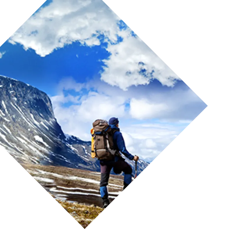
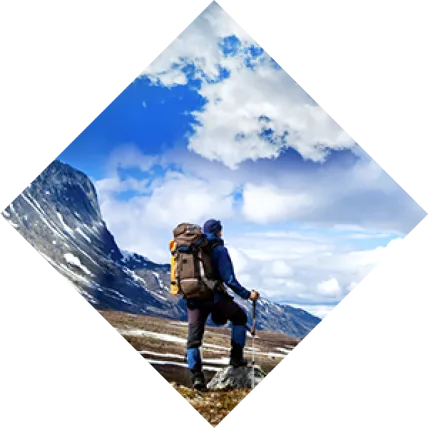
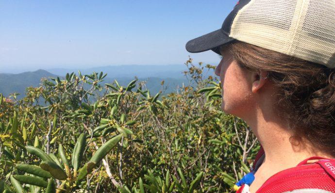
The variety of hiking in North Carolina matches its variety in geography; the coastal plain near the Atlantic Ocean, the mountain region to the west, and the piedmont in the middle. Each region features enchanting hiking opportunities such as rolling sand dunes along the ocean to towering waterfalls surrounded by lush greenery to the west. Hikes on the coastal plain are gentle and difficulty increases as you move west towards the mountains. No matter where you end up in North Carolina, there is a hike waiting for you here! Below are 10 of our favorite hikes across the Tar Heel State. 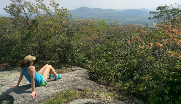
Coastal Plain
Sugarloaf Trail
Carolina Beach State Park The 3-mile Sugarloaf Trail meanders through a variety of ecosystems including salt marshes, maritime forest, and pocosin (unique wetlands). You will catch sweeping views of the coast on the dune and may see any of three carnivorous plants native to the area. Don’t forget the bug spray and sunscreen, but forget the bathing suit, as swimming is not permitted here. Added bonus: the park is free. Length: 3 miles, with shorter and longer options Type: Loop Difficulty: Easy Access: From Wilmington, NC, head south on Route 421. Turn right on Dow Rd. Watch for road signs for the State Park, and turn right again on Carolina Beach State Park Rd.
Boardwalk Trail and Forest Trail
Currituck National Wildlife Refuge These short trails may be the perfect escape from the car or the summer sun. Much of these short hikes are beneath the canopy of sprawling live oaks with smaller, thick leaves specially adapted to minimize water loss in this hot environment. Both the Boardwalk Trail and Maritime Forest Trail are sure to bring a smile to your face. Length: Boardwalk Trail 0.3 miles, Forest Trail 0.75 miles, one way Type: Out and back Difficulty: Easy Access: Head north on 12 from Corolla and look for the small parking area on the left just as the road turns right.
Piedmont
Mountains to Sea Trail
Eno River Section Tucked away just north of Durham, this easy section of trail meanders along the gently moving Eno River. While it’s possible to hike west to the mountains or east to the sea from this point, this 12.5-mile section can easily be broken up into shorter sections between road crossings. From West Point Park, head west toward Pleasant Green Road, about 12.5 miles away, and bring a bathing suit if the water looks inviting! Length: 12.5 miles (one way) with shorter and longer options Type: out and back or one-way with a shuttle (bike, car, or Uber) Difficulty: Easy Access: From I-85, take exit 176 for Route 501 North. West Point on the Eno is about 3.5 miles north, across from Kroger.
Mountain, Grindstone, and Ledge Spring Trails
Pilot Mountain State Park This quartz geologic anomaly offers a quick getaway for folks in the Winston-Salem area. A variety of hiking possibilities exist, but this loop and summit hike combines three trails. Use the Mountain Trail and the Grindstone Trail to loop around the mountain. The Ledge Spring Trail will take you on a short out-and-back to the top where you’ll get beautiful views from just over 2,400 feet. If you go on the weekends, go early, as parking becomes difficult later in the day. Length: 9.0 miles for the loop hike and summit from the Pinnacle Road parking area Type: Loop Difficulty: Strenuous Access: Take Pilot Mountain Parkway (Route 52) NW out of Winston-Salem. After about 20 miles, take exit 129 and use the Pinnacle Hotel Road parking area, instead of the main area. There are fewer people here, but no facilities.
Ridgeline Trail
Crowders Mountain State Park A favorite of Charlotte residents, Crowders Mountain State Park has abundant spring wildflowers and beautiful views from the top accessed via the Crowders Trail. If you haven’t had enough, you can add an out-and-back along the Ridgeline Trail eventually reaching SC. Length: 2.8 miles one way Type: Out and back Difficulty: Moderate Access: From the intersection of I-85 and Highway 74, take Sparrow Springs Road 2.5 miles south to the right turn for Crowders Mountain State Park.
Mountains
Bartram Trail
 Jones Gap to The Bus Section This hike along the Bartram Trail is remote and teeming with flowers and wildlife. Park at Jones Gap and hike northwest, taking side trails for Whiterock and Fishhawk mountains, eventually finding yourself staring at an old school bus parked in the middle of nowhere. Return the way you came or descend to Buckeye Creek parking area. Length: 4.0 miles from Jones Gap to the bus, one way. Whiterock and Fishhawk summits add 0.5 miles each, one way. Type: out and back Difficulty: moderate Access: Jones Gap is accessed via FS-4522 just off Turtle Pond Road, north of Highlands, NC
Big Fat Gap Trail
 Joyce Kilmer - Slickrock Wilderness This remote stretch of trail is not for the faint of heart. The federal Wilderness designation means these lands are the least improved in the federal system. You’ll be punished by vegetation attempting to overgrow the poorly marked trail, but rewarded by solitude and abundant wildlife. Park at Big Fat Gap and descend to Slickrock Creek. Turn to follow Trails 42 and 42 A to the Naked Ground. Turn left again to Saddle Tree Gap. Then take Trail 56 back to Hangover Lead and Big Fat Gap. Bonus: hike just another ¾ mile to Wildcat Falls and take a dip in the cold water. Length: 18 miles Type: Loop Difficulty: Strenuous Access: From Robbinsville, NC, go 13.5 miles north on 129. Turn left onto FSR-62 crossing over the Cheoah River. The Big Fat Gap trailhead is 7 miles up this gravel road.
Shortoff Mountain Trail
Linville Gorge Wilderness A huge variety of hiking options lie in the Linville Gorge Wilderness, but this short option rewards you with huge views. Access the nameless trail from Wolf Pit Road and summit Shortoff Mountain after climbing two steep miles. Continue along the Mountains to Sea Trail if you want more, but know that views like those from Shortoff are miles away. Length: 2 miles, one way Type: Out and back Difficulty: Strenuous Access: About 1.25 hours from Asheville, take Highway 126 to the north side of Lake James. Turn onto Wolf Pit Road for 2.5 miles to the trailhead.
Greenland Creek, Mac’s Gap, and Panthertown Valley Trails
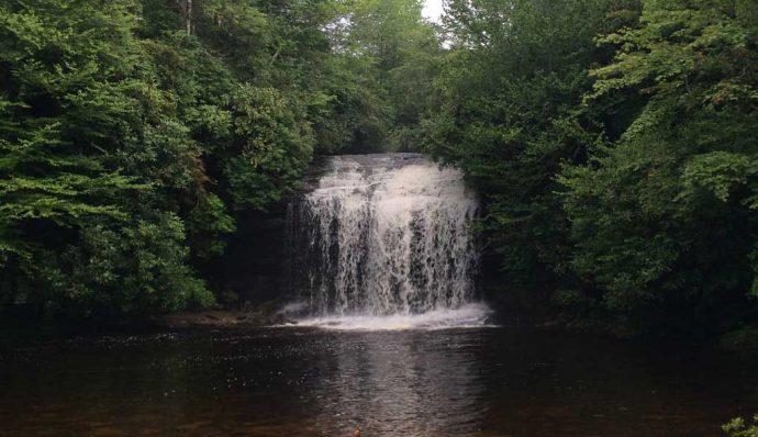 Panthertown Valley Descend into a lush valley replete with cascading waterfalls and sandy bottom creeks with crystal-clear water. This gentle loop is the perfect way to beat the summer heat. Bring your bathing suit! Length: 8 miles Type: Loop Difficulty: Moderate Access: Park at the east entrance at Cold Mountain Gap. Take Greenland Creek Trail 488 past Pothole and Mac’s Falls to Mac’s Gap Trail 482. Head northwest to Panthertown Valley Trail 474. Turn right and go about 3.5 miles back to the parking area. Be sure to hit the side trails to Granny Burrell Falls and Schoolhouse Falls.
Loop Trail
Whiteside Mountain This easy loop hike offers incredible views of the granite domes of the southeast from atop 700’ cliffs. Length: 2.5 miles Type: Loop Difficulty: Moderate Access: The trailhead is located between the towns of Highlands and Cashiers on Highway 64. There are signs everywhere. Be advised the parking area is often full. If you do park on the road, be sure your wheels are not over the white line.